1899 First citrus grove planted
1919 Subdivision platted
15 mi Underground irrigation pipe by 1924
5–10 Acres per original lot
The Story

It was an orchard before it was a neighborhood.

The first citrus grove went in at the foot of Camelback Mountain in 1899, and it thrived. The soil there is deep and well drained, the mountain shields the ground from the worst of the winter cold, and the Arizona Canal, finished in the 1880s, ran right along the southern edge. Everything a citrus tree wants.

In December 1919, the Jordan, Grace and Phelps Land Company platted the Arcadia subdivision on that promise. These were not house lots. They were orchards of five to ten acres each, sold with a requirement that any home built on them cost at least $5,000, a serious sum at the time. The same developers formed the Arcadia Water Company that year, and by 1924 their crews had buried fifteen miles of concrete irrigation pipe under the groves.

For the next three decades, Arcadia was oranges, grapefruit, and lemons, with a scattering of grand homes and winter resorts among the trees. Then, starting in the mid-1950s, the groves were subdivided for houses. The ranch homes went in among the citrus rather than in place of it, and the irrigation pipes that had watered orchards kept right on watering yards.

That is the thing to understand about Arcadia. It is not a neighborhood that happens to have nice trees. It is an orchard that people moved into.

🍊
An Arcadia streetscape with Camelback Mountain — photo coming soon
The Water

The trees are old because the water is deep.

Drive 56th Street on a delivery morning and you can watch it happen: a yard filling like a shallow lake under sixty-year-old citrus and ash trees, then draining into the ground over the next few hours. That deep soak is why Arcadia’s canopy looks the way it does. Sprinklers wet the top few inches. Flood irrigation reaches the roots.

Water comes from the Arizona Canal, which has defined Arcadia’s southern boundary since before the subdivision existed. Deliveries run on a schedule, more often in summer, and many properties share a turnout with neighbors and take turns opening gates. In the older core of the neighborhood, a surprising amount of the 1924 Arcadia Water Company infrastructure is still doing its job underground.

Now the honest part, because this is where Arcadia buyers get burned. The water is what made Arcadia desirable in the first place, but a century of subdividing, remodeling, and rebuilding means it no longer reaches every lot, and the number of irrigated lots is shrinking as new construction removes the infrastructure. Some blocks still run on it. Some have a single active account left. Some have the pipes in the ground and nobody has opened a gate in twenty years. Irrigated lots carry a real premium, the MLS gets this wrong more often than you would expect, and finding them takes a keen eye. Verifying the water is the first thing I do on any Arcadia property, before we talk about anything else.

How Flood Irrigation Works
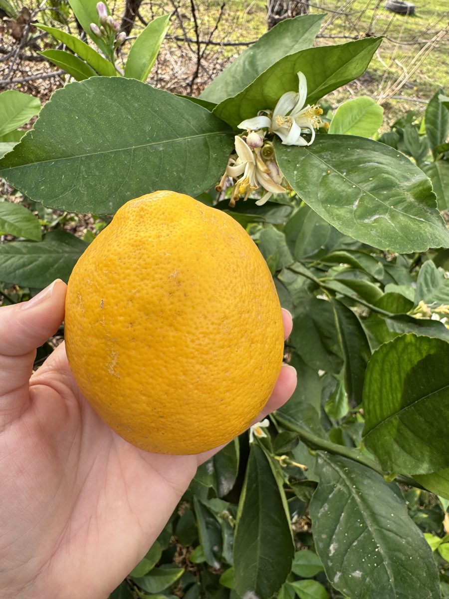
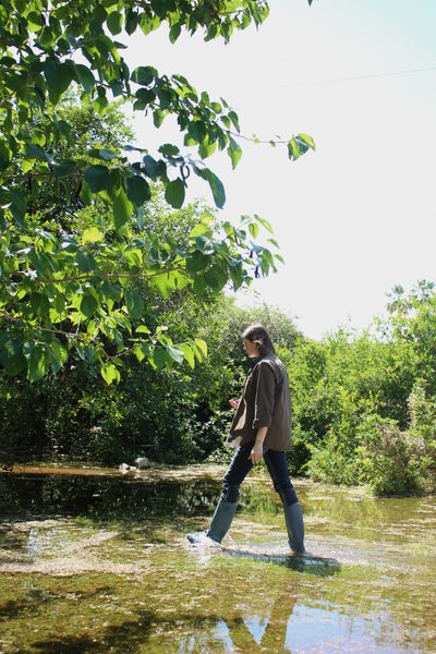
Mature citrus trees on a flood irrigated Arizona lot
The Neighborhood

Arcadia would not be Arcadia without flood irrigation.

Ask three people where Arcadia ends and you will get three answers, but the important thing to remember is that this remarkable area of Phoenix was built on flood irrigated agriculture. The name Arcadia is such a vibe that every nearby neighborhood wants to claim some association with it. And although the exact boundaries of the area are endlessly debated, below are some generally-accepted guidelines.

Schematic map of Arcadia, Phoenix A simplified map showing Arcadia Proper between 44th and 56th Street, Arcadia Lite between 56th and 64th Street, and the Scottsdale portion east of 64th Street, bounded by Camelback Mountain and Camelback Road to the north and the Arizona Canal to the south. CAMELBACK MOUNTAIN Arizona Canal Arizona Falls Camelback Rd Lafayette Blvd Indian School Rd 40th St 44th St 48th 52nd 56th St 60th 64th St 68th St ARCADIA PROPER Original 1919 grove land Historically flood irrigated ARCADIA LITE Smaller lots, later homes Irrigation less common SCOTTSDALE east of 64th LOWER ARCADIA Phoenix Scottsdale N Historic irrigation core Irrigation less common Arizona Canal

Schematic, not to scale. Boundaries are informal and debated; irrigation status varies lot by lot and must be verified for any specific property.

44th to 56th Street

Arcadia Proper

The original 1919 grove land between Camelback and Indian School. The largest lots, the oldest trees, and the highest prices in the corridor. This is where flood irrigation has the deepest roots in Arcadia, and the 1950s ranches that survive here sit on ground that has been deep-watered for a hundred years. Whether a given lot still gets water is another question.

56th to 64th Street

Arcadia Lite

Same Arcadia High School attendance area, same mountain views, same zip code. Smaller lots and later construction, which is why it costs less. Flood irrigation is less common here, though it exists. A great neighborhood, but a different product from Arcadia Proper, and worth knowing which one you are buying.

The Houses

Ranches, remodels, and rebuilds

The classic Arcadia house is a single-story 1950s ranch with a citrus tree or three out back. Over the last twenty years many have been expanded or replaced with large custom homes (and I’m on a personal quest to convince developers to stop ripping out flood irrigation infrastructure in the process, but they’ll only listen to YOU, the buyers). Either way, Arcadia remains a highly sought-after area of Phoenix/Scottsdale. Why? Lot sizes, trees, and water.

Mature fruit trees thriving on a flood irrigated Arizona property
Living Here

A neighborhood built around a mountain and a canal.

Camelback Mountain is the backdrop to nearly every street, and the Arizona Canal path along the southern edge is where the neighborhood walks its dogs, rides its bikes, and runs into itself. Between them is a grid of wide, quiet streets under a canopy that most of Phoenix cannot grow no matter how much it spends on water.

The tradeoff is price. Arcadia is one of the most expensive neighborhoods in the Valley, and the irrigated core is the most expensive part of it. For a buyer who wants a real orchard lot in the middle of the city, it is also one of the very few places that lot exists at all.

If you are looking here, the question is never just “which house.” It is which lot, which water, and which trees. And if you already own here and are thinking about selling, the story of your property, from the 1924 pipe under the lawn to the grapefruit tree that predates the house, is exactly what the right buyer is paying for. It deserves to be told properly.

East Phoenix Camelback Mountain Flood Irrigation Citrus Heritage
Frequently Asked Questions

Arcadia, answered.

Arcadia sits in east Phoenix at the southern foot of Camelback Mountain, generally between 44th Street and 68th Street, from Camelback Road south to the Arizona Canal. The portion east of 64th Street falls within Scottsdale city limits. Locals further divide it into Arcadia Proper (roughly 44th to 56th Street), Arcadia Lite (56th to 64th Street), and several smaller pockets.
Yes, and it is the reason Arcadia looks the way it does. The neighborhood was platted in 1919 as citrus orchards, and the Arcadia Water Company laid about 15 miles of underground concrete irrigation pipe by 1924. Today water is still delivered to eligible parcels through the canal system, but a century of subdividing and rebuilding means it no longer reaches every lot, and the number of irrigated lots is shrinking as new construction removes the infrastructure. Finding one takes a keen eye and a professional who knows what to look for, and the status of any specific property must be verified before you buy.
Arcadia Proper is the original 1919 citrus-grove core, roughly 44th to 56th Street between Camelback and Indian School, with the largest lots, the most mature trees, and the deepest flood irrigation history. Arcadia Lite runs from about 56th to 64th Street and shares the Arcadia High School attendance area, but lots are generally smaller and the two are priced very differently. Regardless of where you’re searching, flood irrigation is never a guarantee and should be carefully researched if it’s important to your home search.
The classic Arcadia home is a 1950s ranch on a large lot, built when the citrus groves were subdivided for housing, often with original orange, lemon, or grapefruit trees still standing in the yard. Over the past two decades many of those ranches have been remodeled, expanded, or replaced by new custom homes, so today Arcadia is a mix of mid-century originals and large modern builds on the same irrigated ground.
Confirm the irrigation account is active and transfers with the sale, find out how the property receives water (its own turnout or a shared one with neighbors), inspect the berms, valves, and any pump, and understand the delivery schedule. Also look closely at the mature trees, which are often the most valuable thing on the lot. These checks belong before an offer is written, not after.
Work with an agent who understands flood irrigation, because in Arcadia the water and the trees are a large part of what you are paying for. Camille Fairbanks is a GREEN Certified REALTOR® with eXp Realty and an Arizona flood irrigation specialist who has lived on flood irrigation for 30 years. She can be reached at (480) 382-7348.
Next Steps

Thinking about Arcadia?

Whether you’re buying, selling, or trying to figure out which lots actually have water, start with one of these.

Get the Free Buyer’s Guide See Upcoming Workshops Book a Consultation

Camille Fairbanks · GREEN Certified REALTOR® · AZ Flood Irrigation Specialist · eXp Realty · (480) 382-7348

Historic details on this page are drawn from the Arcadia Camelback Mountain Neighborhood Association’s published history and other public records. This page is an independent neighborhood guide; it is not affiliated with or endorsed by the City of Phoenix, City of Scottsdale, any water provider, or any neighborhood association. Neighborhood boundaries are informal and property-specific irrigation status should always be verified individually.